Conservation Lands
Sarasota and Manatee Counties are home to many environmental assets protected by the local, state, and federal governments as well as private owners. These Conservation Lands include the Quick Point Nature Preserve, Myakka River State Park, and the Passage Key National Wildlife Refuge.
The Florida Wildlife Corridor (FLWC) is a legislatively designated network of approximately 18 million acres of connected ecosystems, encompassing state parks, national forests, and wildlife management areas, that supports wildlife movement and migration across the state. The Corridor comprises both Conserved Areas and Opportunity Areas, the latter being lands within the Corridor that have yet to be protected. By linking habitats across the state, the FLWC aims to reduce fragmentation and the resulting declines in plant and animal populations caused by human development.
Florida Forever is the state's primary conservation land acquisition program, administered by the Florida Department of Environmental Protection. The program prioritizes the purchase of lands that protect water resources, support wildlife habitat, preserve cultural resources, and provide opportunities for public recreation.
Florida Conservation Land Acquisitions Dashboard is a web application hosted and maintained by the Florida Natural Areas Inventory (FNAI) and allows the user to stay up to date on Land Conservation in their area and to track conservation progress statewide. Within this tool the user is able to pull reports on conservation funding, acquisitions, and much more.
Rare and Endangered Species
Sarasota and Manatee Counties support a diverse array of rare, threatened, and endangered species. The map below highlights conservation priority areas identified to protect critical habitat for these species across the region as identified by the Florida Department of Environmental Protection.
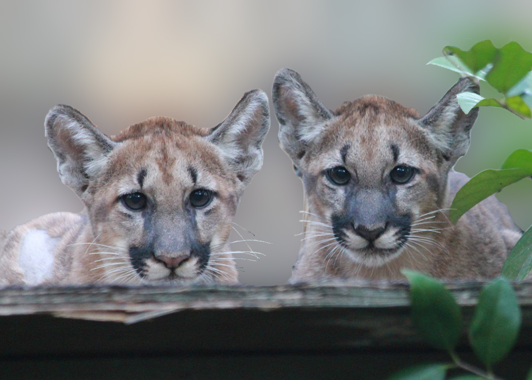
The Florida Fish and Wildlife Conservation Commission (FWC) maintains a comprehensive wildlife conservation program tracking Florida's imperiled species — those listed as federally endangered, federally threatened, or state-designated threatened. The FWC works alongside the U.S. Fish and Wildlife Service to conserve species such as manatees, panthers, sea turtles, gopher tortoises, and bald eagles through individual management plans, species action plans, and permitting guidelines. Their wildlife page provides species profiles, conservation program details, and monitoring resources for Florida's rare and imperiled wildlife.
The Florida Natural Areas Inventory (FNAI) maintains the most comprehensive statewide database of rare plant and animal species locations, searchable by species type and county.
iNaturalist is a citizen science platform where community members log verified wildlife observations. The hyperlink is pre-zoomed to the Sarasota and Manatee County region in the year 2025, offering a living snapshot of local biodiversity that everyone can contribute towards and explore.
Water Resources and Hydrology
The Sarasota/Manatee region is defined by a rich and interconnected network of water resources, including
coastal estuaries, inland lakes and rivers, wetlands, and aquifer systems. The region's hydrology is shaped
by the Myakka River, the Manatee River, Sarasota Bay,
and thousands of miles of wetlands. Understanding these systems is essential for resilient transportation planning, land use decisions, and infrastructure investment.
Flood risk is a critical planning consideration across the region. Significant portions of both Sarasota and Manatee counties lie within Special Flood Hazard Areas (SFHAs) as designated by the
FEMA Flood Map Service Center. The region's beloved Coastal areas face additional vulnerability from storm surge, sea level rise, and high-tide flooding events. The MPO considers flood zone data in evaluating project prioritization, corridor studies, and long-range transportation planning to minimize exposure and improve system resilience.
Regional water supply planning and watershed management are coordinated through the
Southwest Florida Water Management District (SWFWMD),
which oversees water use permitting, aquifer recharge protection, flood control infrastructure, and
environmental resource regulation across the region. SWFWMD's
data and mapping resources
provide basin-level hydrologic information including streamflow, groundwater levels, and floodplain
delineations.
Local stormwater and floodplain management programs are administered by
Sarasota County Public Works
and
Manatee County Public Works.
Sea level rise projections and coastal flood vulnerability assessments are available through the
National Oceanic and Atmospheric Administration (NOAA)
and the
Florida Department of Environmental Protection (FDEP).
Parks, Trails, and Outdoor Recreation
Want to experience Florida's natural world firsthand? Florida State Parks offers access to thousands of acres of wildlife habitat across the region, including Myakka River State Park right here in Sarasota County. You can also give back by volunteering at a state park or through the Florida DEP's volunteer program, where opportunities range from trail maintenance and exotic plant removal to wildlife monitoring and beach cleanups.
Sarasota and Manatee Counties offer a wealth of opportunities to explore and experience the natural landscapes highlighted in this map. From coastal preserves and river corridors to upland scrub habitats, the region's parks and trails provide direct access to the ecosystems that support Florida's rare and imperiled species. For guides, maps, and information on local trails, nature preserves, and outdoor recreation, visit Sarasota County Parks and Facilities and Manatee County Natural Resources
 Environment